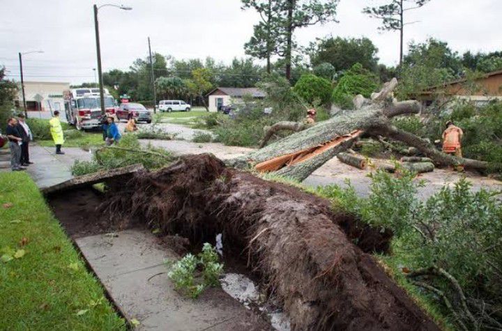
Hurricane Ian is losing some of its speed as it moves across land over Florida, but its slower progress could add to another danger the state will be facing for days to come, widespread flooding across areas far away from the coasts.
Meteorologists warned that the slower speed means the hurricane is dumping larger amounts of rain along its path, causing what is expected to be record flooding in western and southwestern parts of the state. Rivers, streams and creeks inland will be overrun, but unable to drain out to sea because of the storm surge that has inundated coastal areas, they said.
“This has been such a large area of heavy rainfall,” said Ross Giarratana, a meteorologist with the National Weather Service’s Tampa Bay Area office. “That hits a lot of river basins and causes a lot of extra runoff that ends up needing to pass through the river system, but it can’t because they’re overflowing.”
Large parts of the state will be feeling the impacts of the flooding for days and possibly up to a week, Mr. Giarratana said. Florida’s flat terrain will also make the rivers slower to drain, he added.
Emergency and weather officials warned residents to not let their guards down even after the storm passes, calling the danger from flooding across a large swath of the state life-threatening.
“It’s 24 hours of rainfall, 24 hours of winds pushing the water,” Ken Graham, director of the National Weather Service, said at a news conference Wednesday. “We have to talk about the water. Ninety percent of your fatalities in these tropical systems comes from the water.”
By early Thursday, parts of southwestern Florida were already seeing record or near-record levels of flooding. Horse Creek near the city of Arcadia had swelled to 21.22 feet by about 4:30 am, surging well past the previous record of 18 feet. Nearby, Peace River at Zolfo Springs had risen to 25.36 feet, edging past a record of 25 feet.
Areas along Interstate 4, which spans the width of the state, are expected to see some of the worst rainfall, with 12 to 20 inches expected and as much as 30 inches in some areas, said Melissa Watson, a meteorologist with the National Weather Service in Melbourne.
The storm is expected to exit off Florida’s east coast by Thursday afternoon. But widespread flooding will continue to threaten northeast Florida, southeastern Georgia and eastern South Carolina through the weekend, according to forecasters.

